Entry to the County Court House, 97 Thomas Street East is via the Accessible Entrance on the North end of the building.
Seasonal Load Restriction By-law
Each year The County puts weight restrictions on many County Roads from February 15 through April 15.

The Eastern Ontario Wardens’ Caucus Welcomes Changes in the Keeping Energy Costs Down Act, 2024
April 3, 2024, Eastern Ontario – The Eastern Ontario Wardens' Caucus (EOWC) supports the Minister of Energy, Todd Smith on his announcement regarding the
RFP for County Road 6 & County Road 23 Roundabout - Contract No. 2024-01
County of Lennox and Addington
Contract No. 2024-01
County Road 6 and County Road 23 Roundabout


Social Services
Here, residents have access to services that help you with Children's Services, Employment, Housing and Financial Assistance.
Learn More
Museum & Archives
Love history? Delve into L&A’s colourful past, have fun at our events or start researching your genealogy in the archives.
Learn More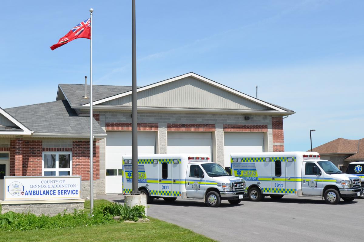
Health Services
Committed to providing citizens with quality health services, learn more about Emergency Services and the John M. Parrott Centre.
Learn More

Roads & Bridges
Enabling the movement of people & goods through an accessible transportation network.
Learn More
Business in Lennox & Addington
Do business in a more relaxed business climate without sacrificing the amenities of big city living.
Learn More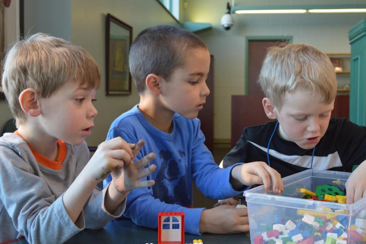
We ♥ reading and lifelong learning!
Our County Libraries enrich Lennox & Addington by supporting 21st century literacies, lifelong learning, and community connections.
Learn more
Government Services
County Council is responsible for the delivery of a variety of services to the residents of Lennox and Addington.
Learn More

Ticket and Offences
The County of Lennox & Addington has responsibility for the administration of Provincial Offences. This includes speeding or traffic violations, Municipal by-law charges and charges laid under provincial legislation such as the Environmental Protection Act and the Occupational Health and Safety Act.
Learn More